


Severe weather forecast service
WEATHERAmerica has partnered with Software Techniques Inc. to provide severe weather forecasts. Our mission is to present our clients with the most accurate up-to-date severe weather predictions in North America utilizing a variety of maps, tables, and in-depth analyses from meteorologists. We provide custom solutions that are tailored according to the individual needs of each client.
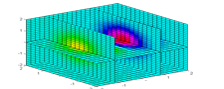
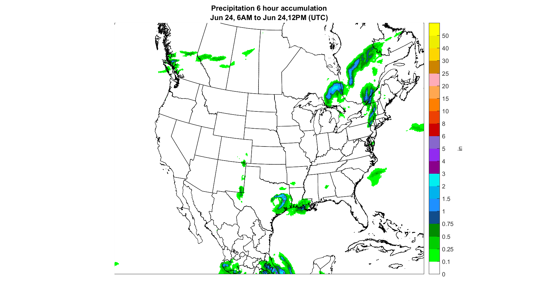
We have the capability to generate a variety of weather maps that are optimized for visualizing the upcoming weather events. Mapped parameters include but are not limited to:
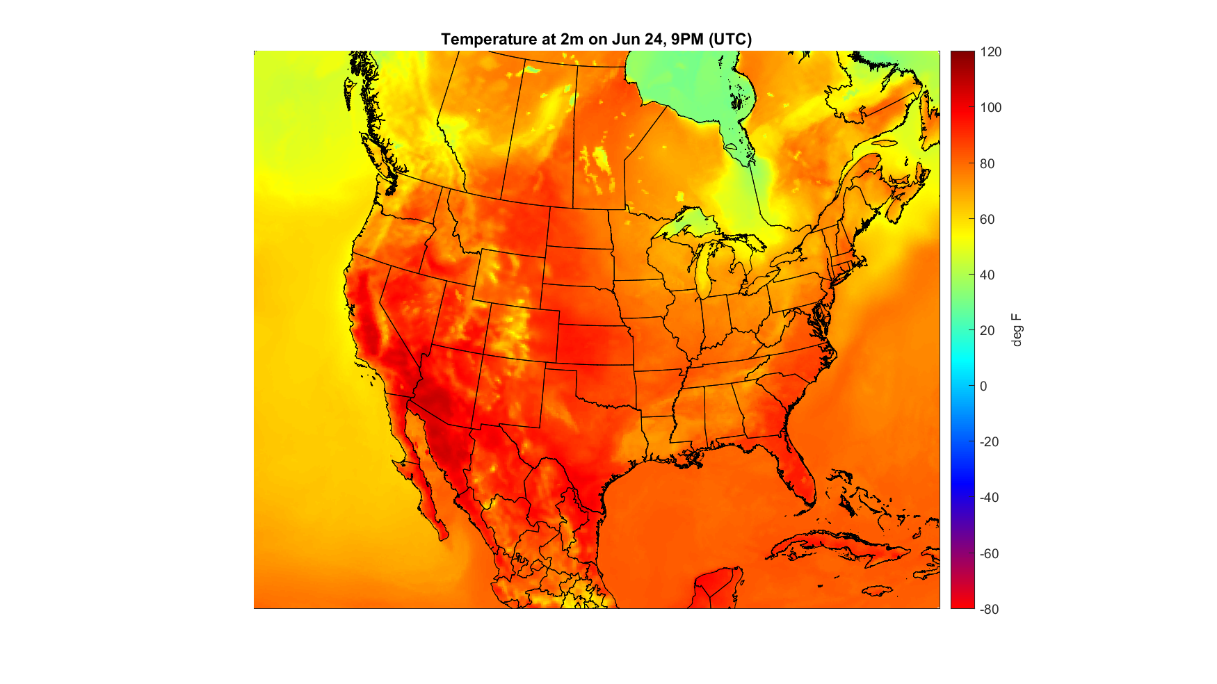
- Temperature
- Precipitation
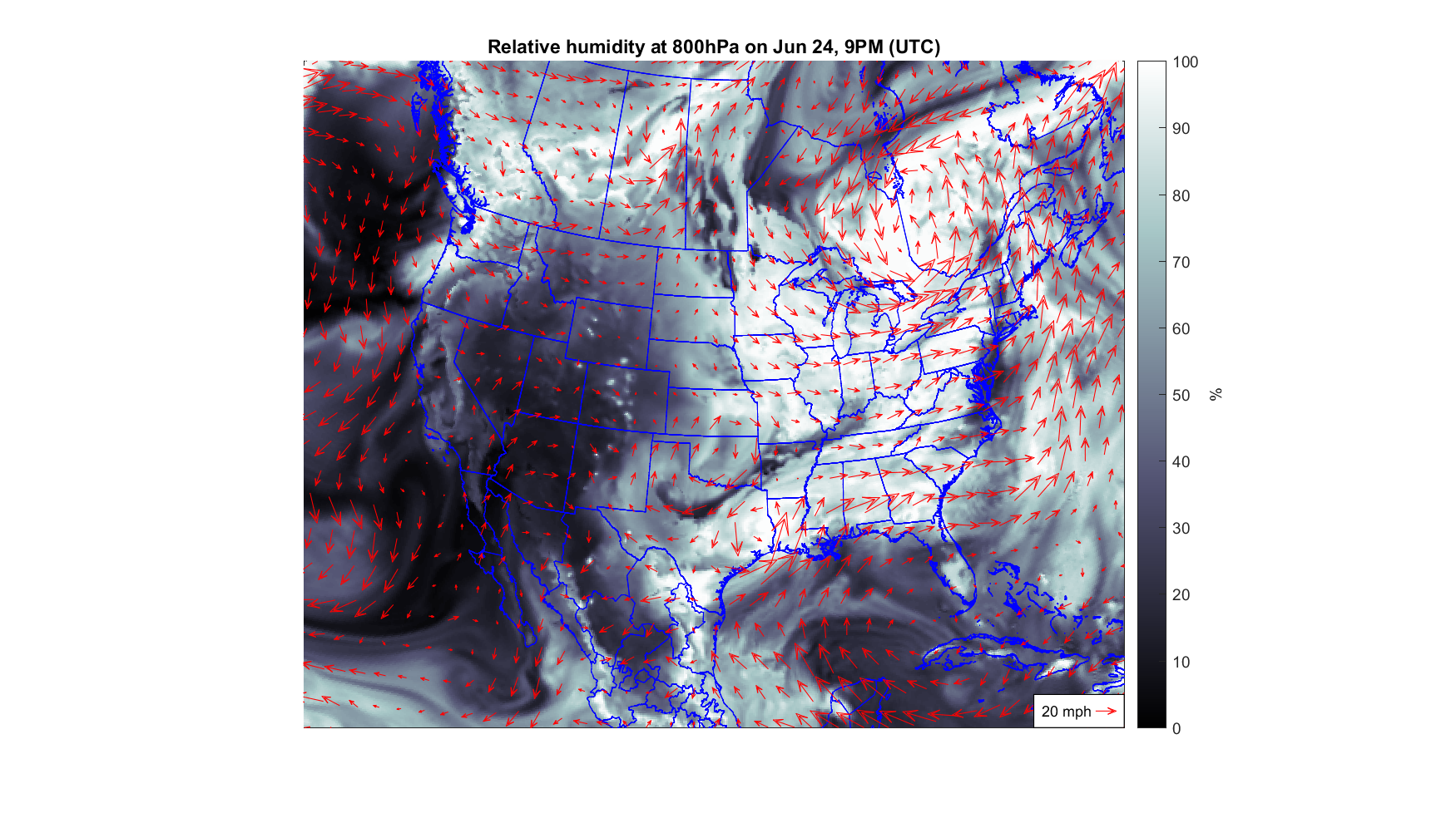
- Relative humidity
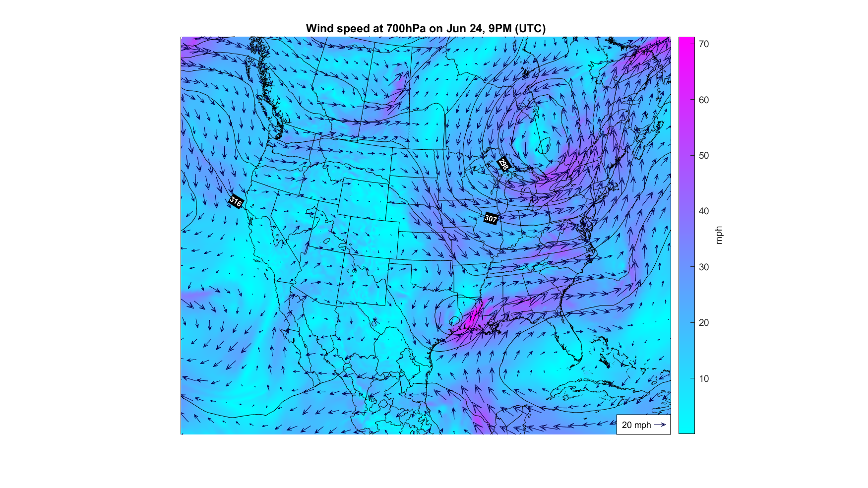
- Wind speed
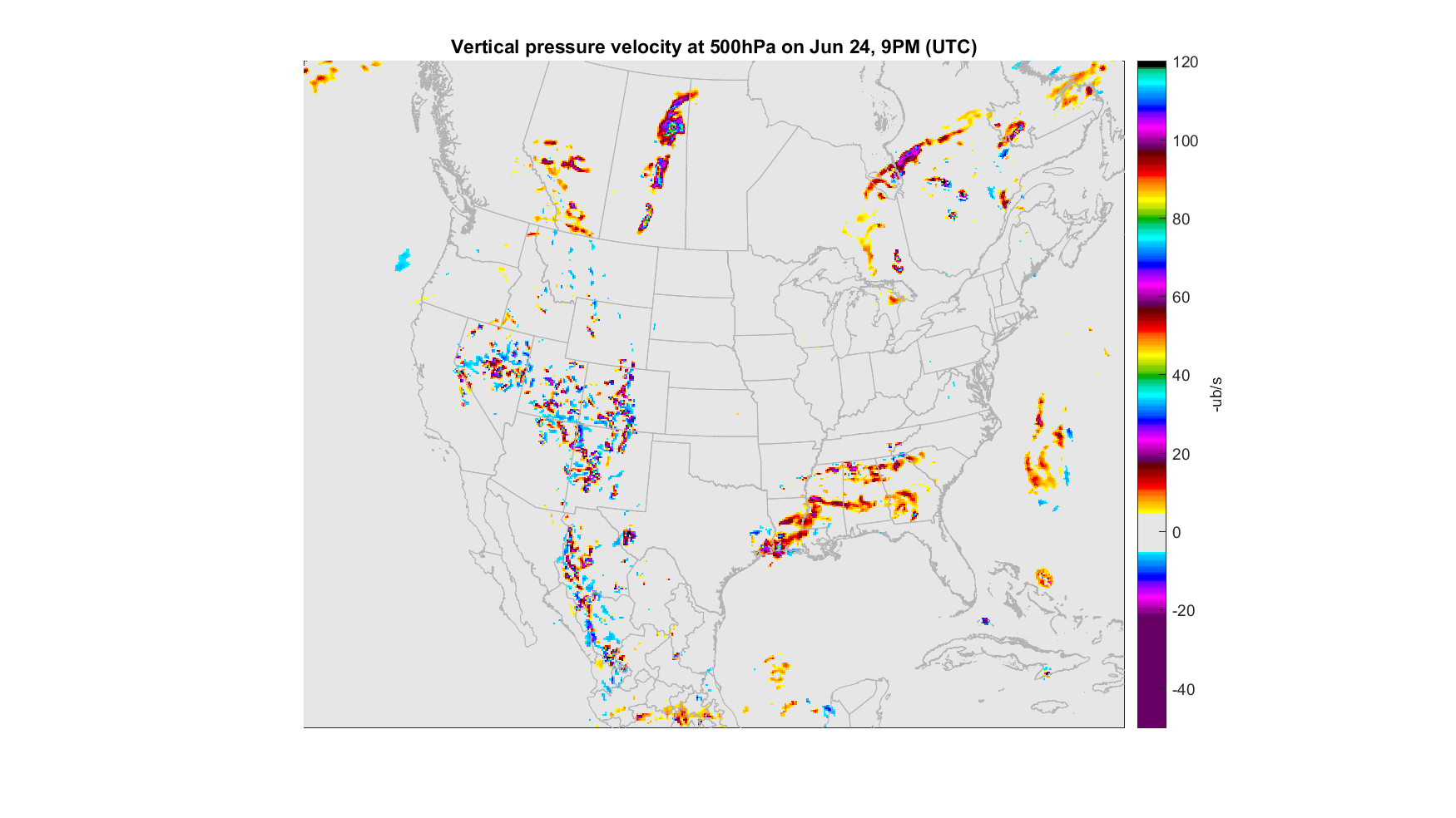
- Vertical velocity
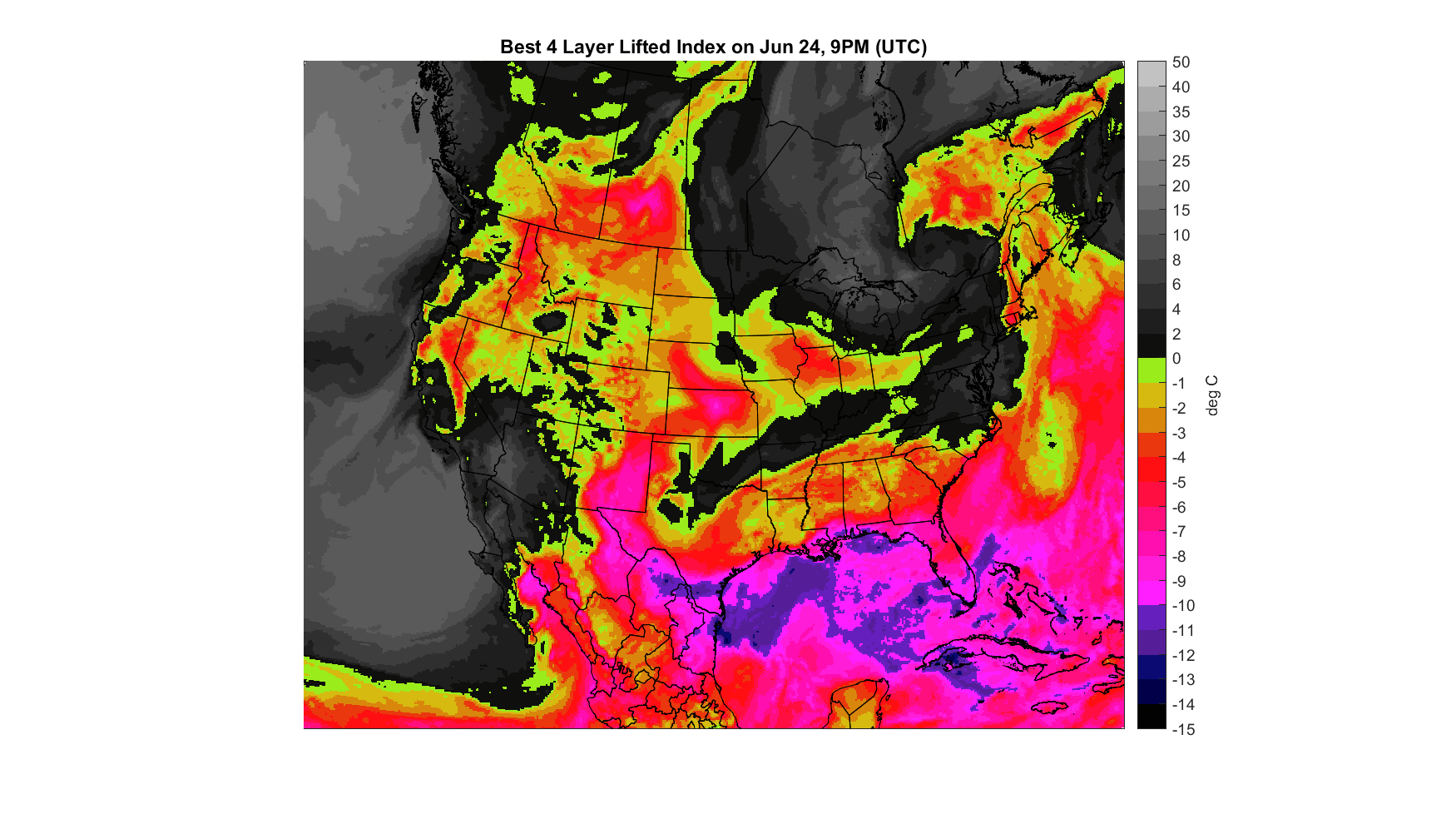
- Lifted index
- CAPE
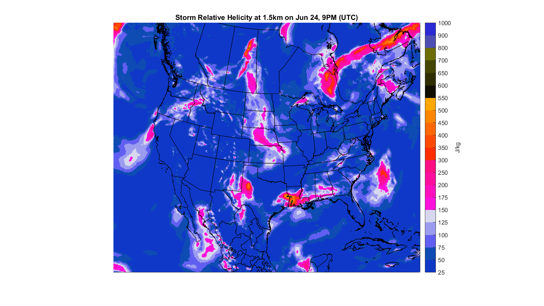
- Helicity
- Vorticity
- CIN
- Surface pressure
- Snow depth
- Geopotential(such as 500mb)
Our weather maps can be viewed at many height levels, such as 2 m above ground or at a pressure height level (500mb, for example). The maps can be customized according to the preference of the client, by using a specific color style or having a region of interest to be shown exclusively.
Below are examples of our weather forecast maps.

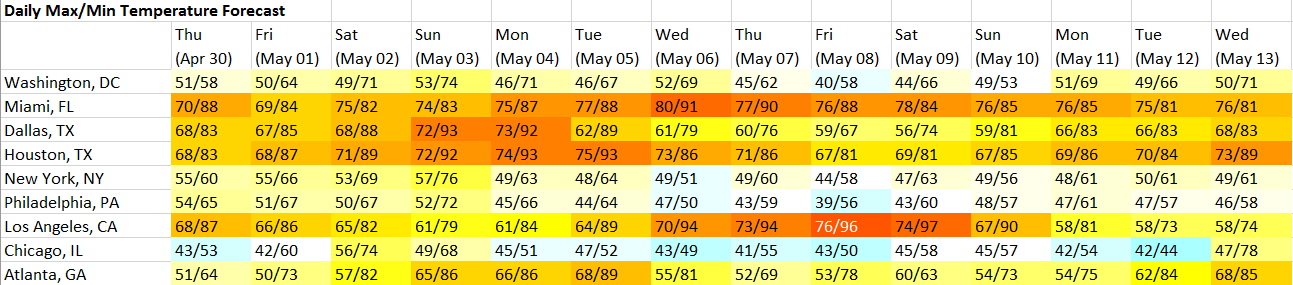
We also present the weather data in a dashboard/excel format, the table below shows the daily maximum and minimum temperature in major cities across the United States.
Although raw data and data visualization is important, it is also important to make sense out of the large quantities of data available, that is why we are providing the insights and commentaries of professional meteorologists specialized in severe weather along with the data that we deliver. Our services allow our client to quickly understand the current weather and how it will affect their business.